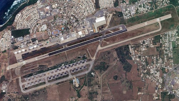
The feature, which Google rolled out temporarily, enabled users to superimpose synthetic visuals onto the platform’s mapping layers. While proponents argued the tool could enhance creative exploration and visualization, several researchers and ethicists contended that it raised the risk of misleading online content and the erosion of the credibility of satellite imagery that journalists, investigators, and human rights advocates rely upon to verify events and locations.
Critics emphasized the broader implications for misinformation, noting that visibly altered maps could be leveraged to misrepresent places, timelines, and circumstances on the ground. They stressed that satellite data has long served as an evidentiary resource in monitoring abuses, conflicts, and other critical humanitarian issues, making guardrails around image integrity essential.
Google has not disclosed specific details about the scope of the feature or the duration of its availability, but officials indicated the suspension was a precautionary measure as the company reviews potential safeguards and user impact. The tech company did not immediately respond to requests for comment about the next steps or any planned revisions.
Experts cautioned that the episode underscores the broader challenge tech platforms face in balancing innovative capability with accountability. They urged clear disclosure about AI-generated content, robust verification mechanisms, and user education to prevent misinterpretation of enhanced imagery as authentic satellite data.
While some users may have valued the tool for imagination and design exploration, observers say the incident highlights a critical need for transparent policies and reliable verification practices on platforms that serve as trusted sources of geographic and human rights information. Google’s continuing review will determine whether a future, revised feature could re-enter the platform in a way that preserves image integrity.