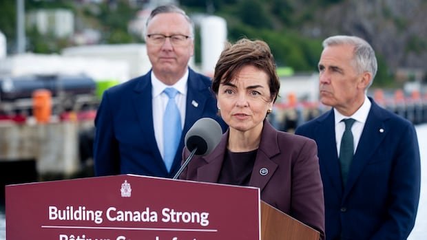
The plan, unveiled this week, includes funding for improved weather radar networks, upgraded satellite data access, and the development of user-friendly dashboards for decision-makers. It also features a commitment to expand climate projections and risk assessments at regional levels, enabling municipalities to better prepare for flooding, drought, and extreme temperatures. Officials say these upgrades will deliver faster alerts, more accurate forecasts, and deeper insights into long-term climate trends.
Officials emphasize that the project is a collaborative effort involving federal agencies, provincial partners, Indigenous communities, and academic researchers. By pooling resources and expertise, the program seeks to close gaps in rural and remote areas where data can be sparse, ensuring no region is left behind in Canada’s climate resilience goals. The initiative also aims to integrate climate information into critical sectors such as agriculture, transportation, and energy, where decision-makers depend on reliable forecasts to manage risk.
Why this matters for Canadians is straightforward: better weather and climate data enable quicker, safer responses to severe events, reduce economic losses from weather-related disruptions, and support long-term planning for infrastructure and communities. As climate change intensifies, more precise forecasts and localized projections help protect lives, property, and livelihoods, from small towns to large urban centers.
Experts say the upgrades will not only improve immediate warnings but also illuminate longer-term climate trends, supporting policymakers as they design adaptation measures. The initiative aligns with broader national efforts to modernize public data infrastructure and foster transparency around climate risk, making information more accessible to residents and businesses alike.
For Canadians, the upshot is clear: access to improved, reliable climate information can inform daily decisions, from deciding when to plant crops to planning evacuations during extreme weather. iCanada will continue to monitor the progress of these investments and report on their impact as the data and services roll out.
Stay informed with iCanada for ongoing coverage on Canada’s climate data modernization and its implications for communities across the country.
#climatedata #weatherforecasting #climatechange #publicsafety #infrastructure #canada #iCanada #dataintegration #extremeweather #resilience
Full News – https://www.cbc.ca/news/canada/montreal/churchill-falls-energy-deal-quebec-election-9.7310261?cmp=rss